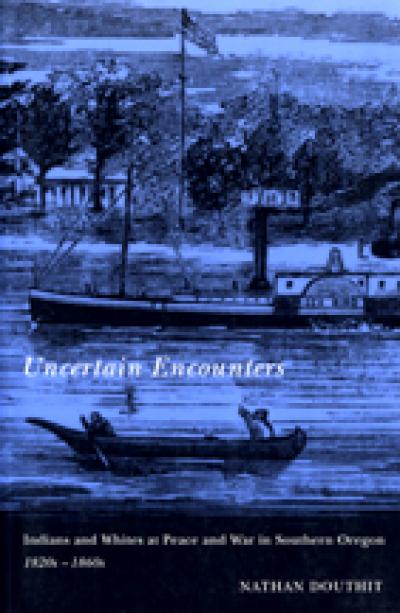
A Guide to Oregon South Coast History
Nathan Douthit
One of the state's most spectacular scenic regions, Oregon's southern coast is also rich in history. Fur trade explorer Jedediah Smith, Coos Indian Annie Miner Peterson, lumber baron Louis Simpson, and writer Zane Grey are just a few of the fascinating individuals who helped shape South Coast history.
This indispensable guide and reference work opens with an overview of South Coast history, from prehistory to the present. This first section features in-depth looks at the region's native peoples, early exploration, white settlement, Indian-white warfare, the forest industry, transportation, and town development.
The second section follows the route taken along the South Coast in 1828 by Jedediah Smith, one of the foremost explorers of the American West. It describes key historic sites from the California/Oregon border to Heceta Head. Drawing on journal entries, the author traces the Jedediah Smith Expedition's advance, and recounts its troubled relations with coastal Indians and its tragic ending. Along the expedition's route, the book profiles the region's many historic places: its archaeological sites, historic buildings, towns, museums, state parks, historic roads, natural areas, shipwrecks, and lighthouses.
About the author
Nathan Douthit is professor emeritus of history and political science at Southwestern Oregon Community College in Coos Bay, where he taught from 1969 to 1997. He is author of The Coos Bay Region, 1890-1944: Life on a Coastal Frontier and articles on Indian-White relations in southern Oregon. For recreation on the South Coast, he likes to bike from Coquille to Arago, hike the coast trail from Sunset Bay to Shore Acres, and drive historic back roads.
Read more about this author
Preface
Acknowledgments from Preface to the First Edition
Map of Oregon South Coast, south half
Map of Oregon South Coast, north half
Part One: Oregon South Coast History
The Natural Setting and Its Transformation
Early Coastal Exploration
Later Spanish Coastal Exploration
Captain James Cook
American Coastal Exploration
Captain George Vancouver
Early Nineteenth-Century Contacts with South Coast Indians
Prehistory
Indian Linguistic Groups
Indian Food Resources
Indian Houses
Indian Wealth and Class Distinctions
Indian Religious Beliefs
Survival of Indian Culture
Beginning of White Settlement
Indian-White Conflict
Pioneer Economy
The South Coast Since 1900
A Personal View of Recent Urban Changes
Part Two: Historic Places, Sites, and Museums
The Approach of the Jedediah Smith Expedition to Oregon in 1828
Chetco Valley to Rogue River
Jedediah Smith Campsites One and Two
Winchuck River to Chetco River
Chetco Valley
Chetco Valley Historical Museum
Chetco Valley History: 1860s--Present
Kalmiopsis Wilderness
Jedediah Smith Campsite Three
©Thomas Creek
Samuel H. Boardman State Park
Jedediah Smith Campsites Four and Five
Pistol River to Rogue River
Rogue River Indian Villages
War on the Rogue River
Gold Mining on the South Coast
Curry County Historical Museum: Gold Beach
Robert D. Hume, Salmon King: Wedderburn
Zane Grey and the Sport Fishing on the Rogue
Rogue River Ranch: Mule Creek
Rogue River or Isaac Lee Patterson Bridge
Rogue River to Bandon:
Geisel Monument Wayside
Jedediah Smith Campsites Six to Eight
Rogue River to Humbug Mountain
Humbug Mountain
American and British Discovery of Port Orford
Battle Rock
Port Orford and Fort Orford
Cape Blanco: Lighthouse, Shipwrecks, and Japanese Fire Bombs
Jedediah Smith Campsite Nine
Sixes River
The Huges House on Cape Blanco
Langlois
Jedediah Smith Campsite Ten
South of the Coquille River
Bandon
Bandon's Indian Village
Coquille River Museum: Bandon
Coquille Valley Eastward
Farms and Early Towns Along the Coquille River
Coquille
Coos Bay Wagon Road
Fairview to Sitkum
Sitkum to Brewster Valley
Sitkum to Reston (Or Lookinglass)
Myrtlewood to Coquille Valley
Myrtle Point
Coos County Logging Museum
South Fork of the Coquille River to Powers
Early Powers
Port-Orford-Cedar
Bandon to Coos Bay
Bullards State Park: Prehistory
Bullards State Park: Indian-White Conflict
White Settlers of Bullards State Park
Bandon Lighthouse at Bullards State Park
Shipwrecks of the Coquille Bar
Jedediah Smith Campsite Eleven
Whiskey Run
Seven devils Road--Randolph Trail
Jedediah Smith Campsite Twelve
Cape Arago
Francis Drake: South Cove, Cape Arago
Jedediah Smith Campsite Thirteen
Shore Acres
Louis J. Simpson and Shore Acres Gardens
Jedediah Smith Campsite Fourteen
Sunset Bay
Cape Arago Light: Gregory Point
Jedediah Smith Campsite Fifteen
Charleston
Charleston
Coos Bay Bar
Shipwrecks off the Coos Bay Bar
South Slough National Estuarine Research Reserve
Jedediah Smith Campsites Sixteen and Seventeen:
Charleston to North Spit
Camp Castaway and the Wreck of the Captain Lincoln
Empire
Downtown Coos Bay: Historic Buildings
Coos Bay Boardwalk
Marshfield Sun Printing Museum: Coos Bay
Isthmus Slough: Mill Sites
Isthmus Slough: Coal Mines
Coos County Historical Society Museum: North Bend
Coos Bay to Heceta Head
McCullough Memorial Bridge over Coos Bay
Umpqua River Lighthouse and Coastal Visitor Center: Winchester Bay-Salmon Harbor
White Settlement on the Lower Umpqua River
Fort Umpqua: North Spit of the Umpqua River
Oregon Dunes National Recreation Area: Coos Bay to Florence
Umpqua Discovery Center: Reedsport
Jedediah Smith Campsites Eighteen to Twenty
Winchester Bay to Smith River
Scottsburg and Gardiner
Jessie M. Honeyman Memorial State Park and the Civilian Conservation Corps (CCC)
Siuslaw Pioneer Museum
Florence and Siuslaw River
Heceta Head Lighthouse
Jedediah Smith's Route to Fort Vancouver
Appendix: Jedediah Smith's Relations with Indians
Sources of information
Historical Societies, Museums, and Lighthouses
Government Agencies: Parks and Natural Areas
Index